
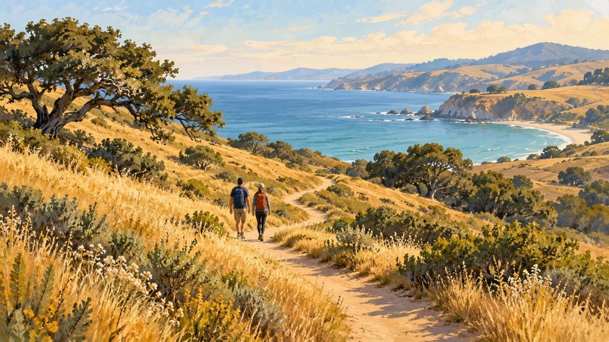
Beyond the famous lookouts, San Luis Obispo County is full of quieter trails — waterfall canyons, oak-shaded ridges, and coastal bluffs where you can still find parking. Here are six worth knowing, with the practical details.
Reservoir Canyon Trail
San Luis Obispo · Reservoir Canyon Road · ~5 miles out-and-back, moderate to difficult
The local favorite for a reason: a roughly 20-foot waterfall and a small cave along the way, best after winter rains. Bring lots of water and sturdy shoes — parts are exposed and rocky. The trailhead lot is small, so arrive early on weekends.
Trailhead & parking: Reservoir Canyon Trailhead Parking Area, Reservoir Canyon Road, San Luis Obispo, CA 93401. Small lot at the end of Reservoir Canyon Road, off Highway 101 northbound near Cuesta Grade.
Get Directions in Apple MapsTrail Details — Visit SLO →
Bishop Peak
San Luis Obispo · 787 Patricia Drive · 3.8 miles round trip, 1,145 ft of climbing
The county’s most recognizable summit, and worth it on a weekday morning before the crowds arrive. The Patricia Drive lot fills by 9 AM on weekends. From the top, views stretch from Morro Bay to the Irish Hills.
Trailhead & parking: Bishop Peak Trailhead, 787 Patricia Drive, San Luis Obispo, CA 93405. Street parking on Patricia Drive near the trailhead sign, just past Patricia Court.
Get Directions in Apple MapsTrail Details & Map — Hikespeak →
Felsman Loop
San Luis Obispo · 787 Patricia Drive · ~2 miles, easy to moderate
A gentle loop with wildflowers in spring — a good pick for families or a quick evening walk. It shares the same Patricia Drive parking as Bishop Peak.
Trailhead & parking: Bishop Peak & Felsman Loop Trailhead, 787 Patricia Drive, San Luis Obispo, CA 93405. Same trailhead and street parking as Bishop Peak.
Get Directions in Apple MapsTrail Details & Map — Hikespeak →
Pismo Preserve
Pismo Beach · 80 Mattie Road · 11 miles of trails, stacked loops, choose your distance
Miles of trails through coastal hills with ocean views around nearly every bend. The preserve lot can fill on clear weekends — go early and check the trail map at the kiosk.
Trailhead & parking: Pismo Preserve Trailhead, 80 Mattie Road, Pismo Beach, CA 93449. Free parking lot at the end of Mattie Road, off Highway 101 Exit 191B, with restrooms and a trail map kiosk.
Get Directions in Apple MapsOfficial Trail Info & Map: Land Conservancy →
Irish Hills Natural Reserve
San Luis Obispo · Madonna Road trailhead · loops from about 3 miles, moderate
Usually quieter than Bishop Peak, with sweeping views from the top. Check current trailhead access before you go, and bring sun protection — much of the climb is exposed.
Trailhead & parking: Madonna Road Trailhead, end of Madonna Road, San Luis Obispo, CA 93405. From Highway 101 Exit 200 (Los Osos Valley Road), drive one mile and turn left on Madonna Road, then park at the end of the road. A short paved walkway leads to the trail map at the King Trail junction.
Get Directions in Apple MapsTrail Details — Visit SLO →
Johnson Ranch Trail
San Luis Obispo · South Higuera Street, Highway 101 Exit 198 · 3.7-mile loop, easier grade
Rolling grassland and oak with scenic views on a relaxed grade — a good alternative to the steeper summit climbs. Check a trail map for the current access point.
Trailhead & parking: Johnson Ranch Trailhead, 5190 Ontario Road, San Luis Obispo, CA 93405. Large dirt parking lot off South Higuera Street at Highway 101 Exit 198.
Get Directions in Apple MapsTrail Details — Visit SLO →
Trail conditions change with the weather — check recent trail reports before you go, carry more water than you think you need, and leave no trace.